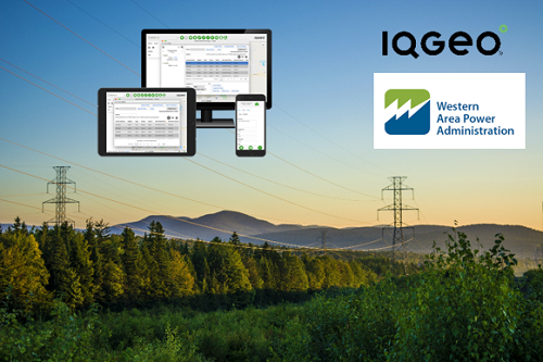
This new project will see the WAPA team using the IQGeo geospatial software in combination with its Inspection & Survey application. The software will be used by field teams conducting ground and aerial helicopter inspection patrols, and vegetation surveys.
WAPA is one of only four Power Marketing Administrations within the US Department of Energy whose role is to market and safely transmit electricity across the US. WAPA is responsible for a 15-state region of the central and western US, supporting a transmission system of more than 17,000 circuit miles from 57 clean, renewable hydropower plants.
The IQGeo software will integrate with WAPA’s existing GIS and IBM Maximo Enterprise Asset Management software. IQGeo’s Inspection & Survey application will support workflows that enable field crews on the ground and in the air to rapidly complete field inspections that can be shared with office-based staff for inspection status reporting.
“This exciting announcement with WAPA represents IQGeo’s largest contract win with a US federal government authority,” explained Richard Petti, CEO at IQGeo. “WAPA’s selection of our software highlights the role our mobile-first and cloud-native technology can play in helping to secure the safe operation and reliable transmission of a critical US federal energy network. We look forward to a very long and productive relationship with the WAPA team.”
About IQGeo
IQGeo delivers award-winning geospatial software solutions to telecommunication and utility network operators around the world ranging from large multinationals to smaller regional providers. The IQGeo software suite improves productivity and collaboration across enterprise planning, design, construction, maintenance, and sales processes reducing costs and operational risks while enhancing customer satisfaction.
Our mobile-first, cloud-native software helps companies create and maintain an accurate view of their increasingly complex network assets that is easily accessible by anyone, wherever and whenever needed. Whether using our Enterprise IQGeo Platform or targeted OSPInsight fiber planning and design software, we enable a “System of Action” that breaks down information silos, improves data quality and accelerates decision making.
Copyright © 2021, IQGeo UK Limited. IQGeo is a registered ® trademark